An independent site about Canada as physical geography — the processes that made the ground
Autray
mrcautray.com
Five grounds · seventeen entries
Every entry is one place, located
Figures sourced or flagged
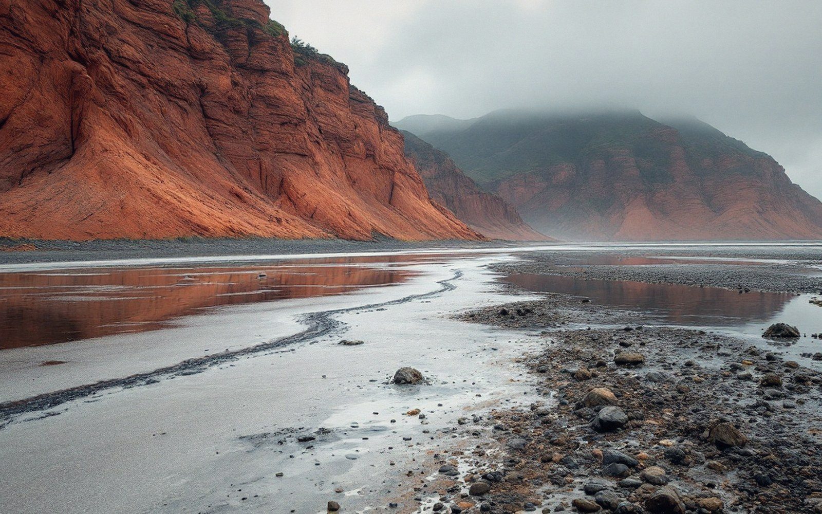
A tidal flat at low water with the high-tide line clearly marked on the red cliff behind, wide, overcast
Section 02 · The Tides

The Bay of Fundy

The tide rises and falls by up to about sixteen metres twice a day because the bay's resonant period nearly matches the tide's and the water sloshes like a bath.

16metres of vertical range at Burntcoat Head, twice a day. At the mouth of the same bay the tide runs two or three. Nothing gravitational changes between the two points — the geometry does.

Every entry is one place, located, and the process that made it.

No figure appears here without a source. Where published measurements disagree, the entry carries the range and says why. The whole register is one page.

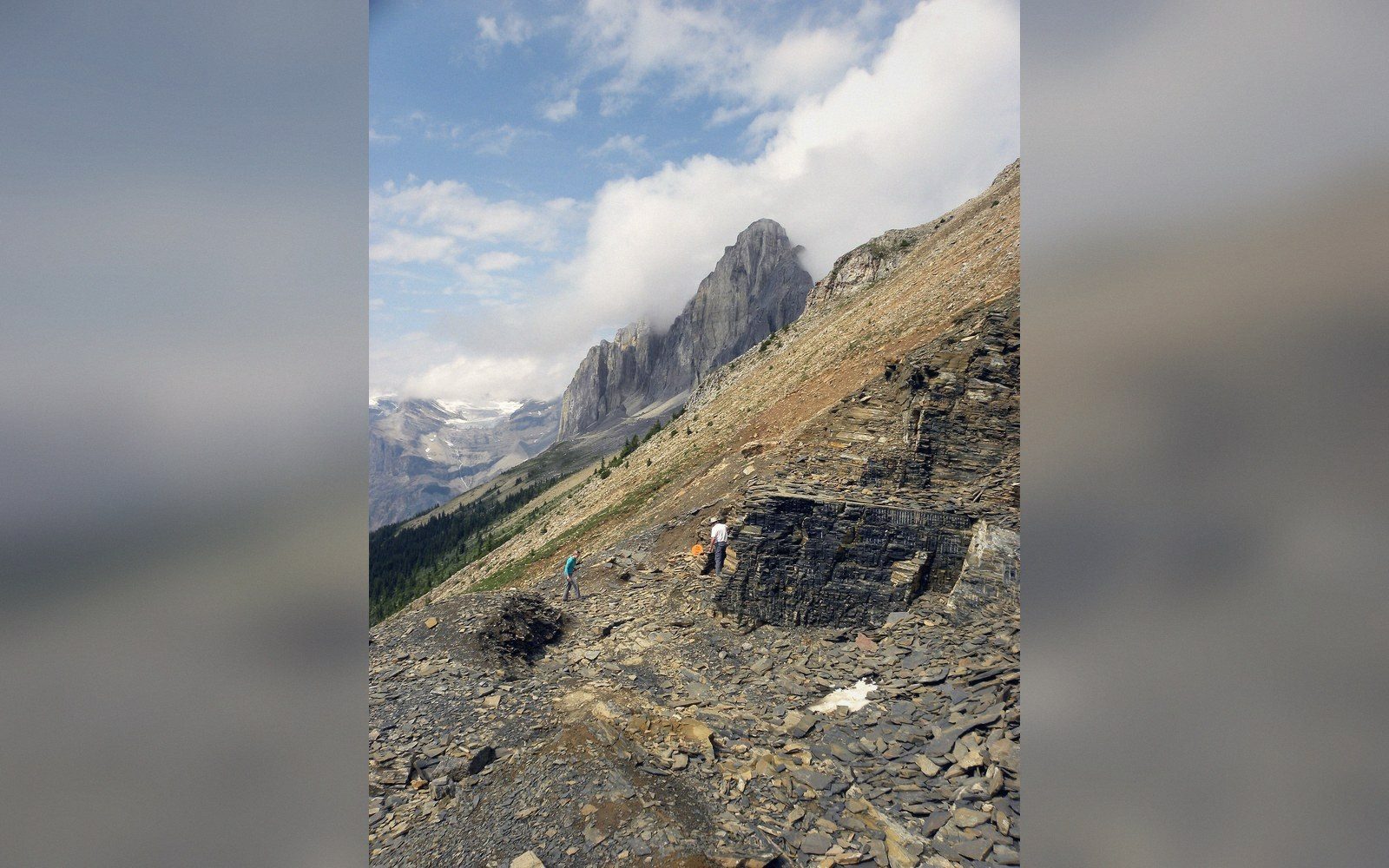
A dark shale slab split open on a rock table, a flattened soft-bodied fossil visible, raking light, geologist's hand lens beside it
Section 04 · Fossil Ground

The bed is worked by hand, a slab at a time

Above the treeline in Yoho, two people are splitting mudstone that is about 508 million years old. The fossils in it are films a few molecules thick: guts, gills, eyes and limbs of animals that had no hard parts at all, buried fast enough by a mud slide that nothing could decay them.

Fossil Ground — four entries  ·  The Burgess Shale

One place, and the process that made it

Read next
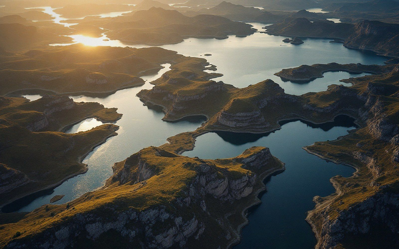
A low aerial over a maze of interconnected lakes and rock ridges
Plate IIBasins draining one into the next through notches in bedrock — a chain rather than a network.
The Shield · Glacial scour

Why so many lakes

Canada holds more lake surface than any other country, and the reason is not rainfall. Ice scraped a landscape of hard rock clean of its sediment, left millions of closed hollows, and melted ten thousand years ago — which is not long enough for them to fill or drain.

Canyons · Antecedent incision

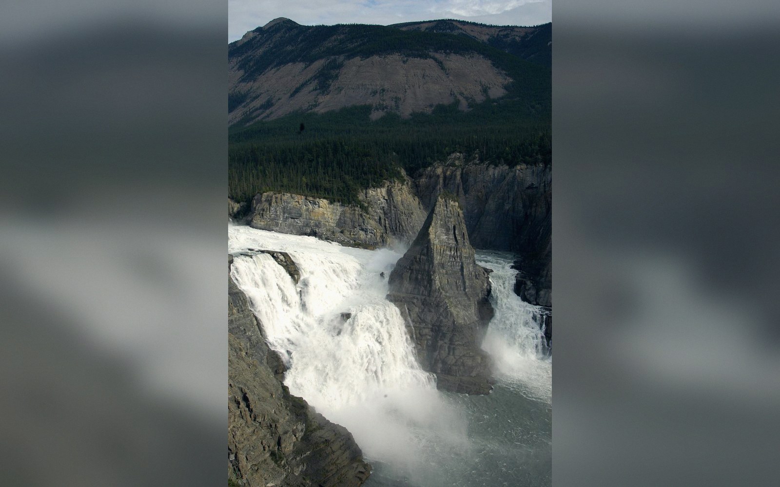
Virginia Falls

The river was there before the mountains, and cut down as they rose. It drops roughly twice the height of Niagara into the canyon it made.

Ice · Glacial transport

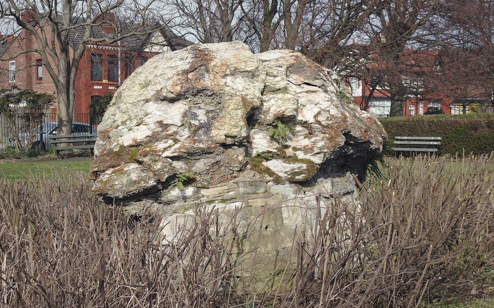
Erratics

A boulder of the wrong rock, five hundred kilometres from its parent outcrop, set down on whatever surface lay under the ice when it melted.

Seventeen entries in all. The register lists every one with its position and its process.

The column

Drawn, not photographed

Everything on this site filed by the age of the thing it describes. The same drawn column runs at three sizes here: as the mark beside the masthead, as the rule between sections, and at full size as the diagram below.

Vertical scale is not linear — the Precambrian would otherwise take the whole page. Hatching follows survey-memoir convention: dashes for mudstone, chevrons for ash, cross-hatch for shock-melted rock, diagonals for gneiss. How the figures are handled.

An adult standing on the seabed beside a tall eroded rock stack at low tide, the high-water mark visible far above their head
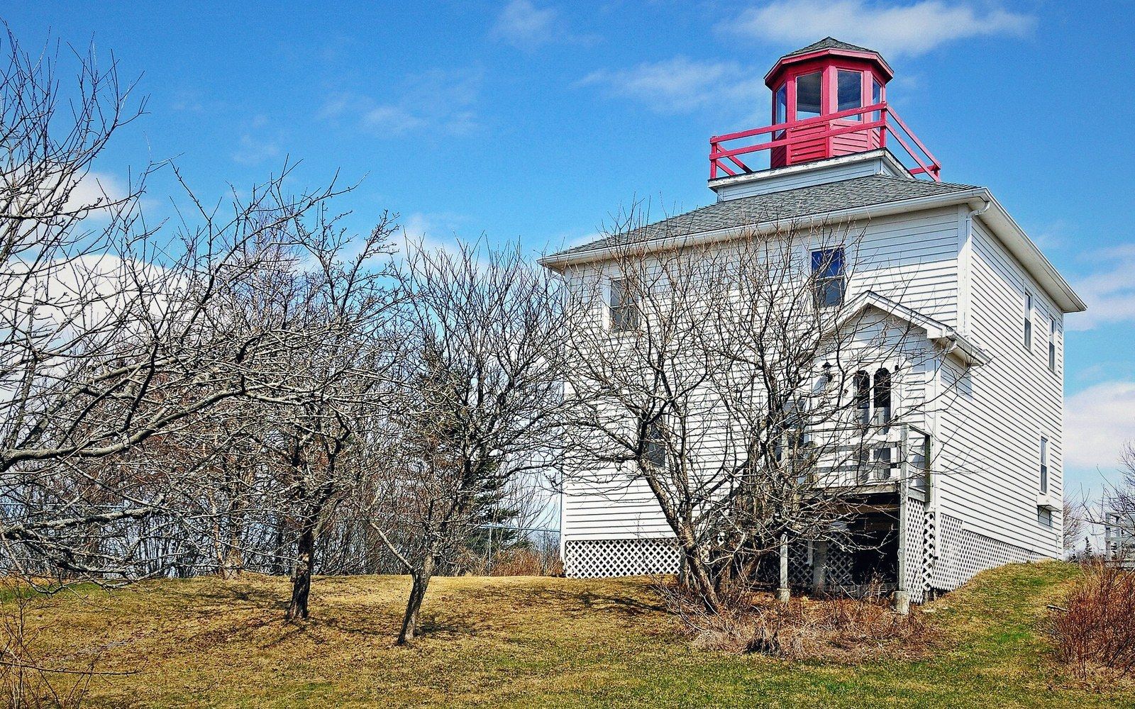
Plate IIThe station at Burntcoat Head. What is measured here is a water level against a surveyed benchmark, not a shoreline.Photo: Burntcoat Head Lighthouse · Wikimedia Commons

Burntcoat Head

Where the largest range is reliably measured, and how a tidal range is measured at all. The 16.3-metre figure is a greatest observed range: one exceptional high tide paired with one exceptional low.

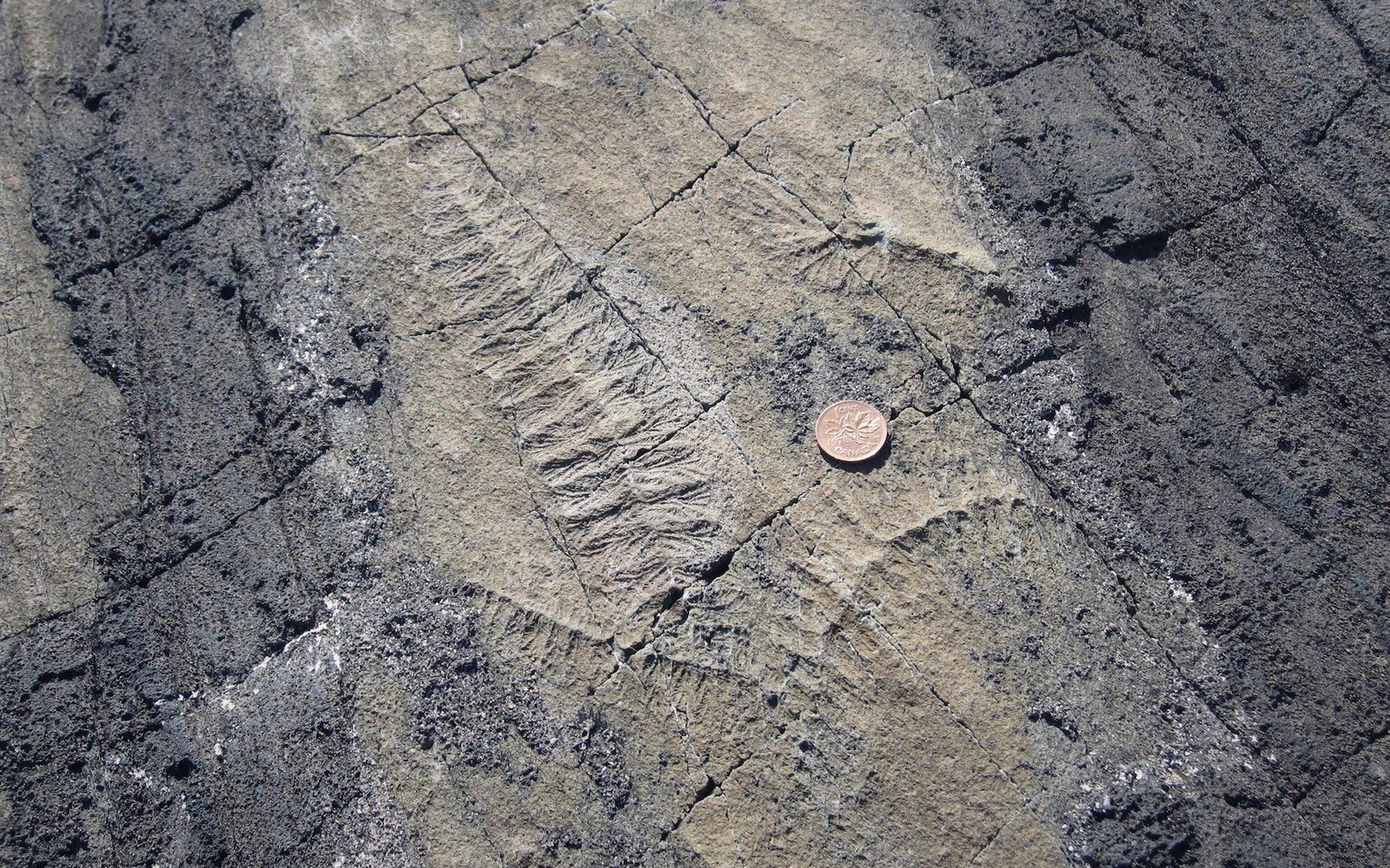
A large flat bedding plane of dark rock at a coastal site covered in faint frond-shaped impressions, low sun raking across the surface
Plate IIIRangeomorph impressions on a bedding plane, a coin for scale. The organisms are lying where they lived, oriented into the current that fed them.Photo: Ediacaran fossils Mistaken Point Newfoundland · Wikimedia Commons

Mistaken Point

In Newfoundland, an Ediacaran seafloor community preserved in place under volcanic ash, older than the Burgess Shale.

Burntcoat Head · 16.3 mA greatest observed range, not a mean. The mean range at the same station is lower, and still the largest gauged anywhere.

Mistaken Point · 565 MaRadiometric dating of the ash puts the main surfaces at roughly 565 million years; the wider range quoted for the site’s assemblages is 560–575.

Virginia Falls · ~90 mPublished heights vary with where the lip and the plunge pool are taken. Roughly twice Niagara is the safe comparison.

The Bay of Fundy · volumesThe figure comparing one tide to the world’s rivers conveys scale rather than precision. The order of magnitude, 100 billion tonnes a cycle, is the usable number.