When the river was there first
A river does not always flow because a valley was already waiting for it. Sometimes the valley came second — cut by a river that refused to yield when the land beneath it began to rise.
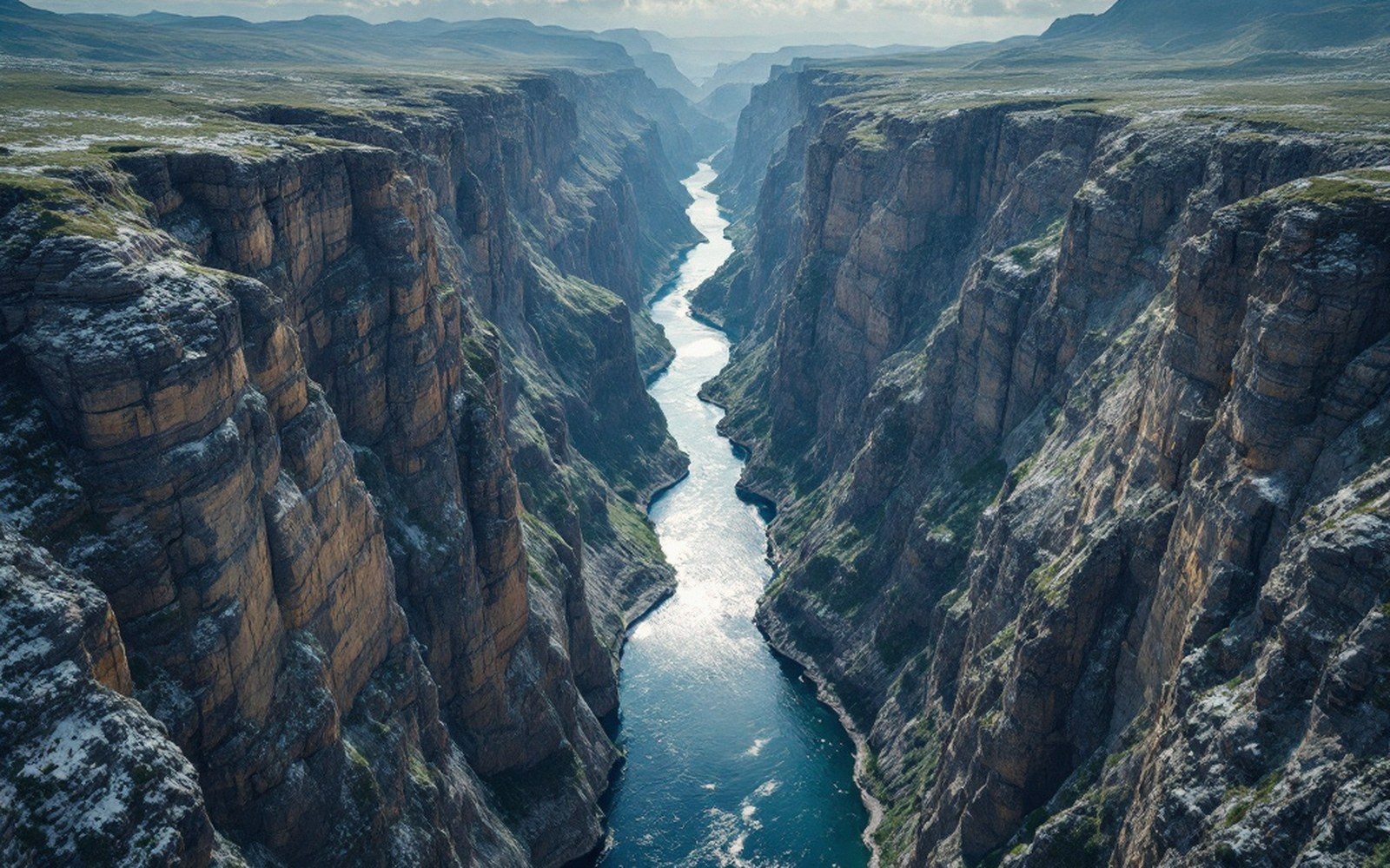
The mechanism is called antecedence, and it depends on timing. If a river is established across a landscape and the underlying crust then warps or buckles upward — through folding, through fault-driven uplift, through the slow thickening of a colliding plate margin — the river does not automatically reroute around the new high ground. Provided it can erode downward as fast as the rock rises, it keeps its course. It saws through the growing structure like a blade lowering steadily through rising wood, leaving a gorge that makes no obvious sense to the eye: a deep, tight canyon slicing straight across a ridge that, by every topographic logic, ought to be a drainage divide.
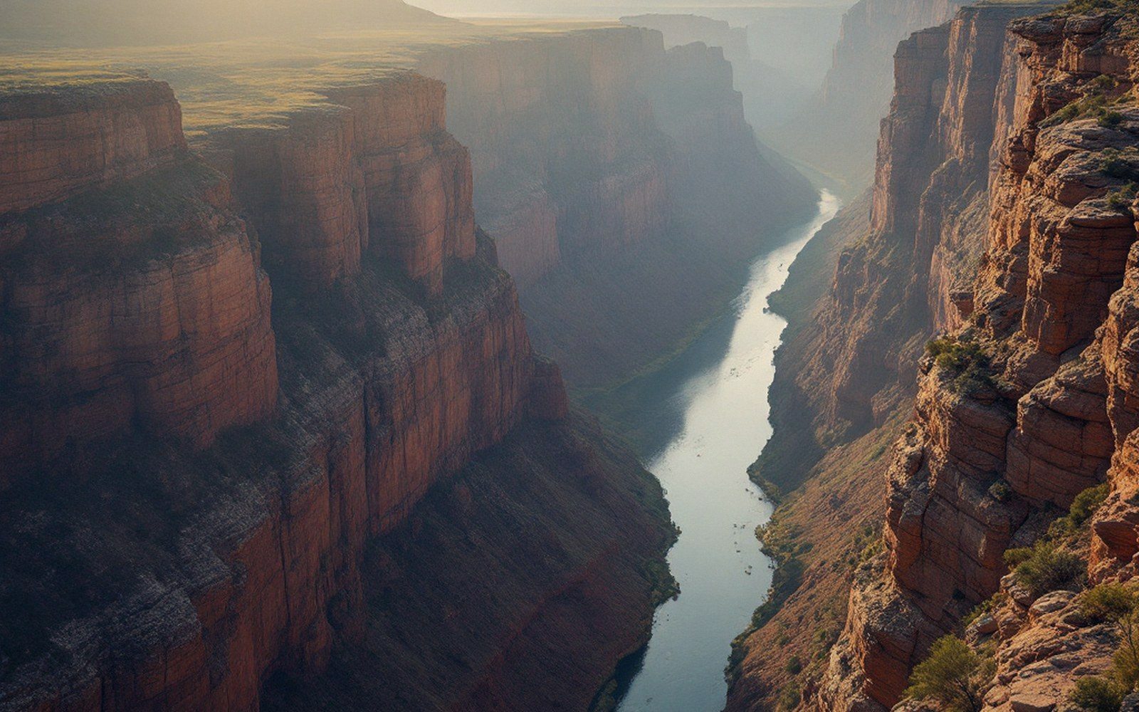
The key variable is the race between incision and uplift. If the river is vigorous — steep gradient, heavy sediment load, hard-abrasive bed material — it can keep pace with surprisingly rapid geological uplift. If uplift accelerates beyond what the stream can cut, the river backs up behind the emerging barrier, overtops it, or finds a new route. Many antecedent rivers were eventually captured or diverted for exactly this reason. The ones we study are the survivors: rivers that won the race.
Identifying an antecedent river in the field requires separating it from a lookalike called a superimposed river, which is a different beast. A superimposed river also crosses a structure incongruously, but it got there by cutting down through a cover of younger, softer rock that once buried the structure entirely — the structure was invisible while the river's course was set, and only revealed once erosion stripped the cover away. Distinguishing the two requires knowing the uplift history, the stratigraphy and the age of the drainage, which is why antecedence is often argued rather than settled.
Key concepts
Terms- Antecedencethe river pre-dates the structure it crosses; it maintains its course by eroding downward as the land rises beneath it
- Superimposed rivera lookalike: the structure was buried under younger rock when the course was set, then exposed by erosion; not the same as antecedence
- Entrenched meandera sinuous, winding canyon inherited from a former low-gradient course, cut into rising bedrock
- Knickpointa sharp break in a river's longitudinal profile, often where incision is locally accelerating
- Hanging tributarya side valley whose mouth is stranded high above the trunk river, left behind as the main channel cut down faster
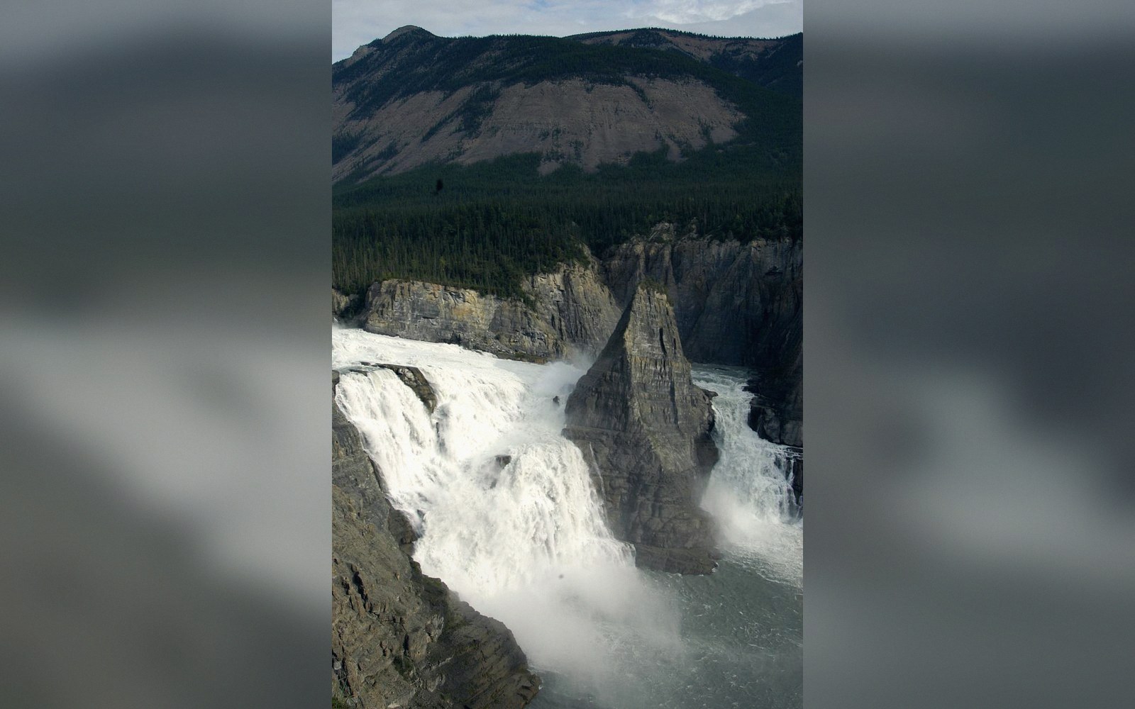
The South Nahanni River in what are now the Nahanni National Park Reserve lands of the Dehcho Dene offers a well-documented Canadian example (61.0° N, 123.5° W). The Nahanni cuts through the Mackenzie Mountains in a series of deep, winding canyons — First, Second, Third and Fourth Canyon, the deepest sections reaching walls more than a kilometre high — after plunging over Virginia Falls, and continuing on to the Liard. The canyon walls expose folded and thrust-faulted limestone, sedimentary structures laid down in a shallow sea and subsequently compressed as the western ranges built. The river's course cuts directly across these structures rather than deflecting around them. The prevailing interpretation is that the Nahanni was draining eastward before the final phases of mountain-building elevated the ranges it now dissects, and that it maintained its gradient by eroding downward as the rock came up around it.
The canyons are correspondingly steep-sided and entrenched — the landscape of a river that has been fighting the rock for a long time rather than finding an easy path. Tributaries hang high above the main channel, their mouths left stranded where the trunk river cut away beneath them faster than they could keep pace. The side canyons are shorter, younger, less deeply incised. The asymmetry in canyon depth between the main river and its tributaries is itself evidence of the antecedent trunk: it had a head start measured in millions of years.
Antecedent rivers also record the uplift history of a region in the geometry of their terraces, knickpoints and meander patterns. Where a river inherits a meandering planform from a low-gradient ancestral reach and then finds itself incising into rising bedrock, it cuts an entrenched meander — a sinuous canyon whose curves reflect the old lazy floodplain, now locked in stone tens or hundreds of metres below the surrounding surface. The Nahanni displays these too, its meanders too wide and sweeping for the gradient of its present canyon. The river remembers what the land was like before the mountains decided to disagree with it.