A river that outran the mountains
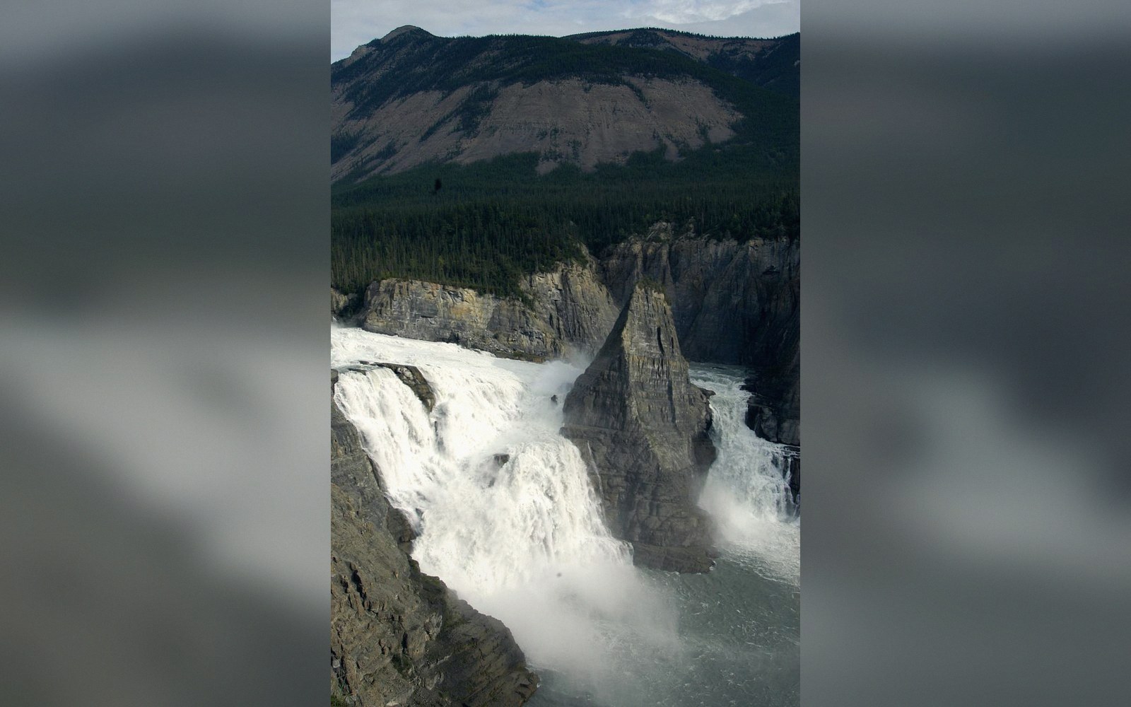
The South Nahanni River drops roughly ninety metres over Virginia Falls — about twice the height of Niagara — before tearing through a canyon series it has spent millions of years cutting into the Mackenzie Mountains of the Northwest Territories. The falls sit at approximately 61.6°N, 125.7°W, deep inside Nahanni National Park Reserve, which Parks Canada ↗ administers over more than thirty thousand square kilometres of largely roadless terrain. The Dehcho Dene, whose territory this is, call the river Náįlįcho — the name Nahanni is an anglicisation of the Nahʔa Dehé, the people of the river.
What makes the canyon geologically unusual is not the falls themselves but the relationship between the river and the landscape it moves through. Normally, mountain uplift diverts or dams a drainage. Here the South Nahanni kept cutting downward faster than the ranges around it rose, leaving it trapped in a canyon that in places reaches more than a kilometre in depth. A river that predates the topography enclosing it is called an antecedent river, and the South Nahanni is among the clearest examples in North America. Antecedent rivers maintain their course not because the terrain invited them but because erosion outpaced geology.
What the rock records
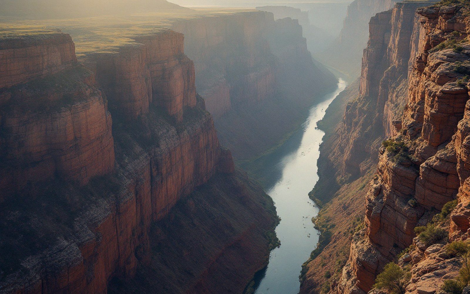
The canyon sequence below the falls is conventionally divided into four numbered canyons, the deepest being First Canyon, closest to the Liard River confluence. The walls expose a long stratigraphic section through Devonian and older limestones — soluble rock that the river and its tributaries have worked into cave systems, hot springs, and tufa mounds. Rabbittkettle Hot Springs, near the northern boundary of the park, has built Canada's largest tufa mound through centuries of mineral-laden water depositing calcium carbonate around the vent. The whole limestone terrain here qualifies as karst: a landscape shaped less by surface erosion than by the chemistry of water moving through soluble rock underground.
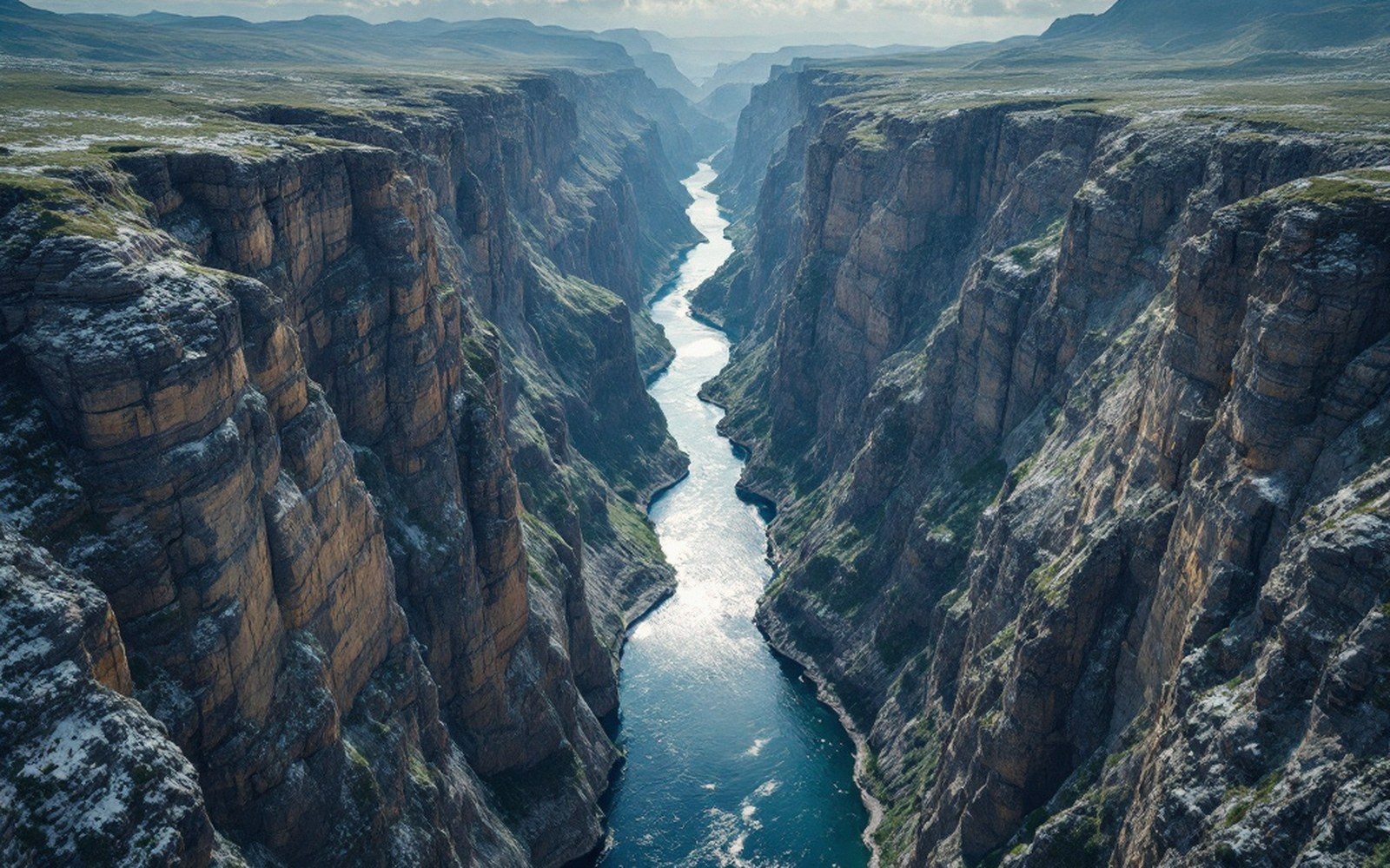
The canyon walls record a second kind of event. During the last glacial maximum, ice lobes dammed the Nahanni in places, impounding lakes whose shorelines are still visible as horizontal terraces cut into the canyon walls. When the ice dams failed, the outburst floods accelerated the incision already underway. The modern canyon is the sum of ordinary river cutting and catastrophic flushing — both working in the same downward direction, neither patient enough to let the mountains win.
Key measurements
Virginia Falls itself is split by a central pillar of rock, Mason's Rock, named for the canoeist and filmmaker Bill Mason, who filmed on the Nahanni. The left channel carries the greater volume; both converge immediately below the lip and plunge into a churn of mist and broken water. The sheer volume of flow, fed by a catchment covering roughly thirty thousand square kilometres, means the river is capable of sustained erosion that a smaller drainage could never sustain. The canyon is not a finished product — the knickpoint at the falls is still migrating upstream, slowly, as undercutting weakens the dolostone cap rock.
UNESCO World Heritage Centre inscribed the Nahanni in 1978, one of the first sites added to the World Heritage List, specifically recognising the outstanding fluvial and karst geomorphology. The Geological Survey of Canada has documented the stratigraphy here as a reference section for Devonian carbonate sequences in the Western Canada Sedimentary Basin. Both institutions were recognising the same thing: a place where the readable record of how rivers, ice and chemistry remake a landscape is exceptionally, almost improbably, legible on the canyon walls.
The South Nahanni keeps cutting. The rock at the lip of Virginia Falls will eventually fail further back, the gorge will lengthen, and the mountains, still very slowly rising, will continue to lose the argument.
What the canyon walls show
Terms- Devonian and older limestone stratigraphy
- Glacial lake terraces (horizontal shoreline benches) from ice-dam episodes
- Tufa mounds at Rabbittkettle Hot SpringsCanada's largest
- Active knickpoint migration upstream from Virginia Falls