Section 02
The Tides
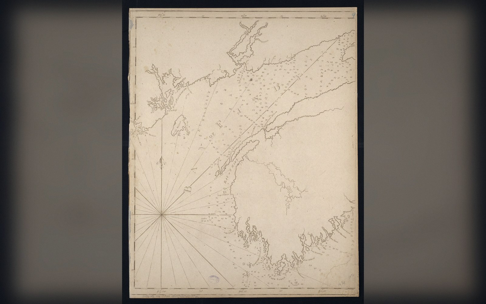
Sixteen metres, twice a day. A bay 270 kilometres long, shallowing toward its head, happens to slosh at almost exactly the period of the Atlantic tide. Everything else in this section follows from that coincidence, including the largest tidal range reliably measured anywhere.
Entries in this section
4 entries- The Bay of Fundy
The tide rises and falls by up to about sixteen metres twice a day because the bay's resonant period nearly matches the tide's and the water sloshes like a bath.
- Burntcoat Head
Where the largest range is reliably measured, and how a tidal range is measured at all.
- The tidal bore
A wave that runs upstream against the river when the flood tide overtakes it.
- Resonance
The bay amplifies because its length and depth give it a natural period close to the tide's.