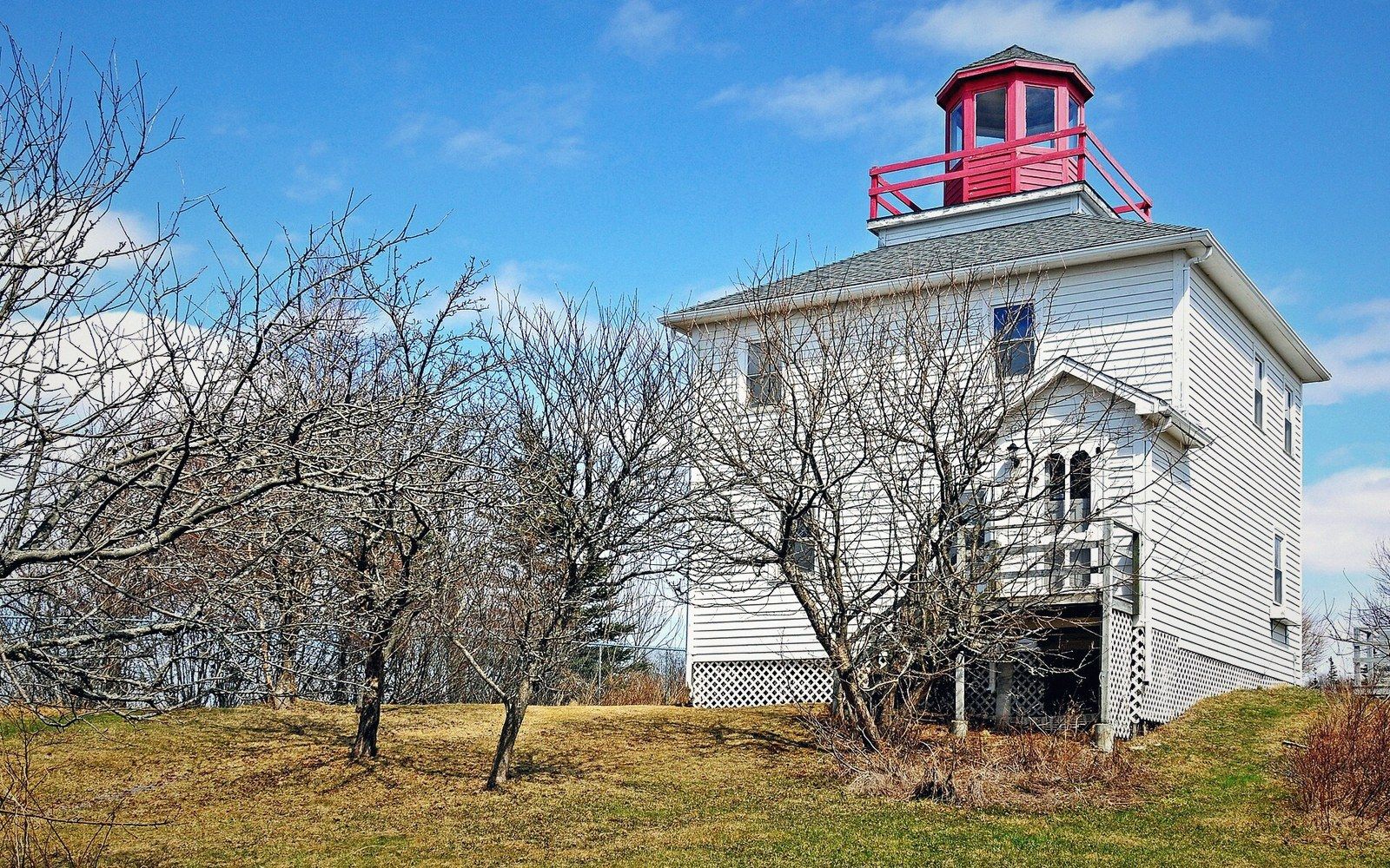
The place and the number
Burntcoat Head sits on the southern shore of Minas Basin, the innermost arm of the Bay of Fundy, at approximately 45.30°N, 63.80°W. The village is small; the tidal range is not. The Canadian Hydrographic Service has recorded a greatest observed tidal range of 16.3 metres at this station — the largest reliably documented figure anywhere on Earth. That number is worth unpacking, because "tidal range" is a precise technical term and the word "largest" carries some qualification.
Tidal range is simply the vertical difference in water level between a high tide and the immediately following low tide. The figure quoted for any location is almost always the mean range — the average of many such measurements — or the great diurnal range, which averages the difference between mean higher high water and mean lower low water. The 16.3-metre figure at Burntcoat Head is the greatest single observed range recorded there: one exceptional high tide paired with one exceptional low. The mean range is somewhat less, though still the largest mean range of any gauged site in the world. Both figures are produced by the same physical machinery.
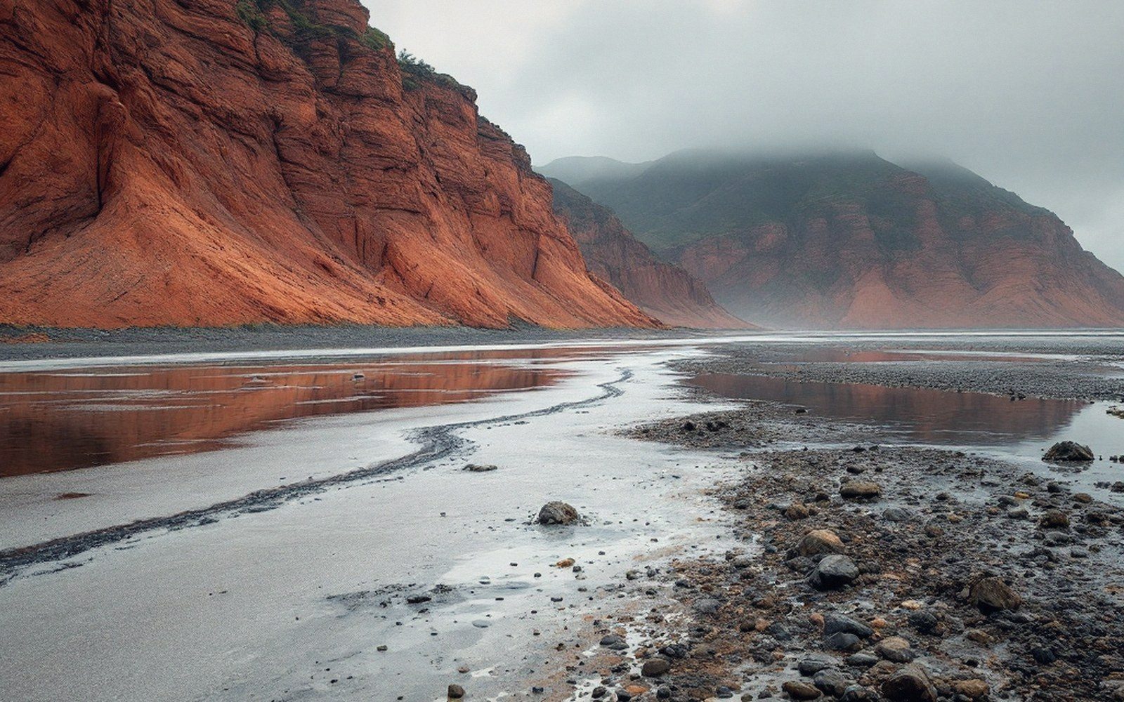
That machinery is resonance. The Bay of Fundy is long enough and shallow enough that water sloshing back and forth within it has a natural period close to twelve and a half hours — nearly matching the roughly twelve-hour twenty-five-minute cycle of the dominant lunar semi-diurnal tide. The ocean pushes; the bay pushes back in near-synchrony; energy accumulates. Minas Basin, at the bay's eastern end, is the narrowest and most constricted part of that resonating system, so the amplified water has nowhere to go but up. Burntcoat Head sits precisely at the point where those converging shores funnel the tide to its highest expression.
How a range is measured
A tide gauge does not simply watch the water and note the extremes. The standard instrument is a float gauge or, in more modern installations, a pressure transducer or acoustic sensor fixed to a structure whose elevation is precisely surveyed relative to a geodetic benchmark — in Canada, the Canadian Geodetic Vertical Datum. The sensor logs water level continuously, typically every few minutes, and the data stream is transmitted to the Canadian Hydrographic Service, which maintains the national tide gauge network and publishes the records. The benchmark connects the water-level readings to the land-level control network, which matters because the land itself is not static: isostatic rebound is still lifting parts of Atlantic Canada as the crust recovers from the weight of Pleistocene ice, and a gauge anchored to rising bedrock will record a slowly changing relationship with mean sea level if the datum is not carefully maintained.
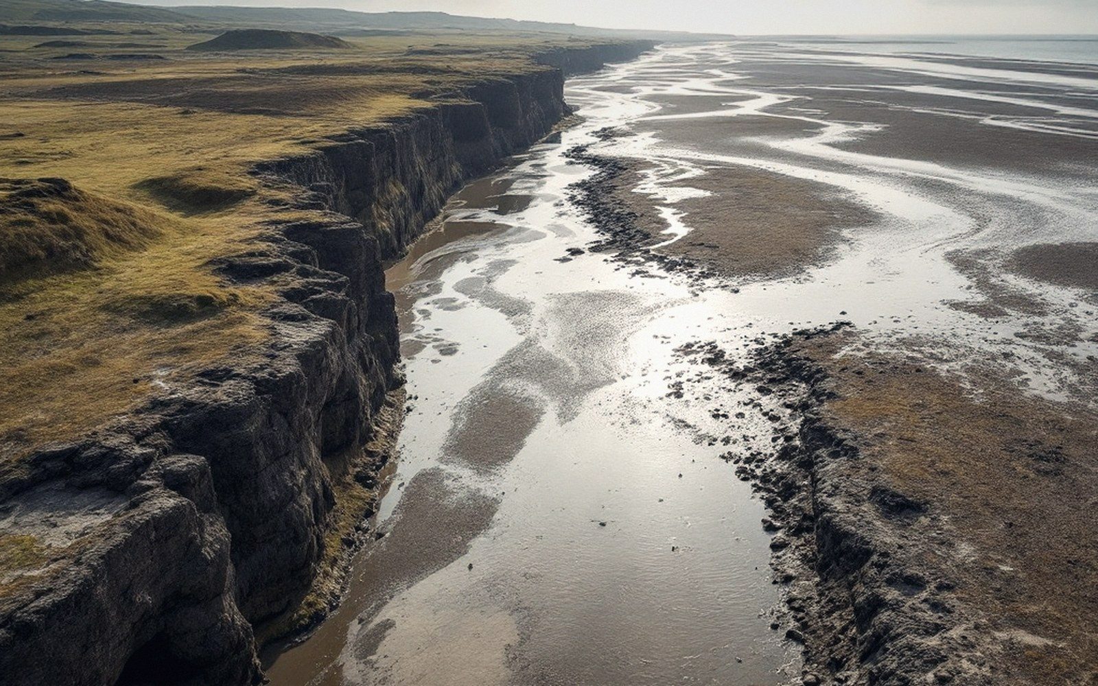
At Burntcoat Head the tidal range is so large that the foreshore exposed at low water extends hundreds of metres, and the same ground that stands under several metres of water at high tide is entirely dry mud and rock twice a day. Measuring range here also requires care about timing: the highest ranges occur during spring tides, when the Sun and Moon align to reinforce each other's gravitational pull, and they are highest of all when a spring tide coincides with the Moon near perigee — its closest approach to Earth. The exceptional 16.3-metre observation combines those factors with particular local atmospheric and oceanographic conditions. Charts and tide tables published by the Canadian Hydrographic Service predict water levels at Burntcoat Head with high precision by superimposing dozens of tidal constituents — each one representing a distinct astronomical cycle — onto the baseline mean.
Key measurements
Terms- Greatest observed tidal range at Burntcoat Head16.3 metres (Canadian Hydrographic Service)
- Location: 45.30°N, 63.80°WMinas Basin, inner Bay of Fundy, Nova Scotia
- Tidal cycledominant semi-diurnal (roughly two highs and two lows per day)
- Exposed foreshore at low waterextends hundreds of metres from the high-water line
The rock exposed at low water is Triassic and Jurassic sediment, red-bedded sandstone and mudstone deposited in a continental basin long before the Atlantic opened to its present width. Twice a day the tide erases and restores the distinction between land and sea over this surface. The gauge records it; the benchmark holds it; the numbers feed into global databases maintained by bodies including the Intergovernmental Oceanographic Commission. Burntcoat Head is not an anomaly to be admired but a calibration point — the outer limit of what tidal resonance in a mid-latitude bay can produce on a planet with one large moon.
How the number is made
Terms- Mean rangeaverage high-minus-low over a long record; the standard comparison figure
- Great diurnal rangeaverage difference between mean higher high water and mean lower low water
- Greatest observed rangethe single largest high-to-low difference on record; the 16.3 m figure
- Spring tidereinforced range when Sun and Moon align; largest when Moon is also near perigee