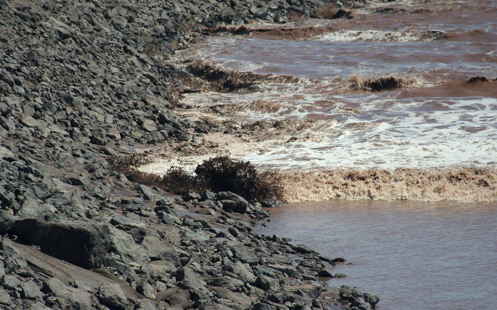
What Produces the Wave
A tidal bore forms when an incoming flood tide is compressed by a narrowing estuary and arrives faster than the river can accommodate it. Instead of a gradual rise, the water piles into a distinct wave front — sometimes a single smooth roller, sometimes a churning white line — that advances upstream against the flow. The river does not stop; the bore simply overruns it, converting the channel's downstream momentum into a backwards surge that can travel many kilometres inland.
The precondition is an extreme tidal range. Where the difference between low and high water is modest, the incoming tide spreads out gradually and the river absorbs it without drama. Where the range is large and the estuary geometry funnels the water, the flood arrives as a concentrated pulse rather than a slow rise. The Bay of Fundy, with a maximum range measured at roughly sixteen metres near Burntcoat Head (45.3°N, 63.9°W), is the most extreme tidal environment on Earth, and it feeds several rivers that produce bores. The Shubenacadie River in Nova Scotia is among the best-documented of these: the tidal wave pushes upstream for more than thirty kilometres twice each tidal day, roughly every twelve hours and twenty-five minutes.
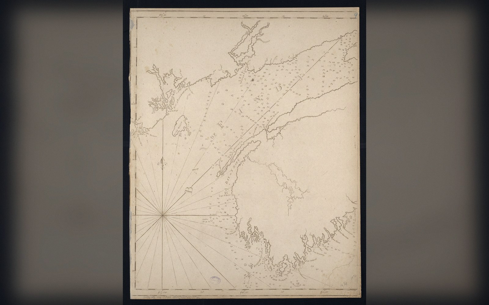
The geometry matters as much as the range. A bore requires a channel that shallows and narrows toward the head — conditions that force the water's energy into an increasingly confined space. In a wide, deep estuary, the tide rises fast but stays diffuse. In a funnel-shaped river mouth, the same volume of water has nowhere to spread, so it climbs vertically instead.
The Physics of the Front
A tidal bore is a type of hydraulic shock — specifically, a translating hydraulic jump. Upstream of the bore, the river runs shallow and fast in its normal direction. The bore front marks the boundary across which depth increases abruptly and flow reverses. Energy conservation demands that the wave travel at a speed determined by the depth of water behind it, not the depth in front: the deeper the tidal water piling in, the faster the bore advances against the current. On the Shubenacadie, bore speeds of roughly ten to fifteen kilometres per hour have been recorded, varying with the tidal cycle and river conditions. The largest bores — those coinciding with spring tides, when the sun and moon align — are the fastest and tallest. The smallest, during neap tides, may be barely perceptible.
Behind the wave front, the river runs in reverse. Flotsam that was drifting seaward suddenly moves inland. The bed material shifts. Sediment that the river spent days transporting downstream is dumped kilometres upstream in a matter of minutes, reworked again when the tide ebbs and the river reasserts itself. Over geological time, this bidirectional sediment transport sculpts the estuarine channel in ways a purely fluvial river never experiences.
Key mechanics
Terms- Flood tide overtakes river flow → bore front forms
- Funnelling estuary geometry compresses tidal energy into a wave
- Wave speed depends on depth of tidal water behind the front, not ahead of it
- Spring tides produce the tallest, fastest bores; neap tides the smallest
Sound Before Sight
On the Shubenacadie and on rivers in other bore-producing systems worldwide — the Qiantang in China, the Severn in England — observers consistently report hearing the bore before seeing it: a low roar or hiss produced by the turbulent front churning against the opposing current. The sound travels ahead of the wave because air is not constrained by the channel walls. This acoustic precursor was well known to Mi'kmaw people along the Shubenacadie long before European settlement; the river sits within Mi'kmaq territory and the bore was a working feature of the tidal landscape, not a curiosity.
The wave itself ranges from a barely-visible ripple, on a small neap tide in a wide channel, to a breaking roller a metre or more high on a strong spring tide. Height alone is not a reliable measure of energy: a bore in a narrow channel can reverse the current completely even when the visible wave appears modest.

Tidal bore rivers named
Terms- Shubenacadie River, Nova Scotia45.3°N, 63.5°W — bore travels more than 30 km upstream
- Bay of Fundy / Burntcoat Head45.3°N, 63.9°W — maximum tidal range ~16 m