The Numbers Are Not an Accident
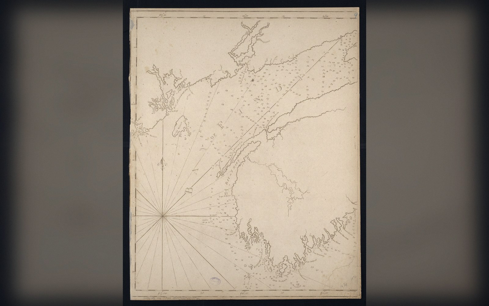
The Bay of Fundy cuts between Nova Scotia and New Brunswick, narrowing and shallowing as it reaches its upper basins. At its mouth, near Brier Island (44.28°N, 66.35°W), the tidal range runs to perhaps two or three metres — unremarkable by Atlantic standards. At Burntcoat Head on the Minas Basin (45.30°N, 63.78°W), the same tide registers a vertical range of around sixteen metres, reliably the largest measured anywhere on Earth. Between those two points, no unusual gravitational force is at work. What changes is geometry.
The Atlantic Ocean generates a tidal wave — not a breaker, but a slow oscillation of the water surface — that circles the North Atlantic roughly every twelve and a half hours. The Bay of Fundy is approximately 270 kilometres long, shallows consistently toward its head, and has a natural resonant period of roughly twelve and a half hours. The two periods are nearly identical, and the result is resonance: the ocean's push arrives just as the bay's water is ready to swing back, and each cycle reinforces the last. The tide does not so much flood the bay as slosh within it, the water tilting back and forth like the surface of a carried bowl. This behaviour is called a seiche (pronounced "saysh"), and Fundy is among the best-documented examples of a seiche locked in phase with the ocean tide that drives it.
The shallow, funnel-shaped geometry matters separately from resonance. As a tidal wave moves into water that grows shallower and narrower, its speed decreases and its height increases — the same compression that turns an ocean swell into a breaking wave on a beach, but spread over tens of kilometres rather than tens of metres. Fundy's two upper arms, the Minas Basin and Chignecto Bay, amplify the tide a second time in precisely this way. The water has nowhere else to go.
What Sixteen Metres Actually Does to a Landscape
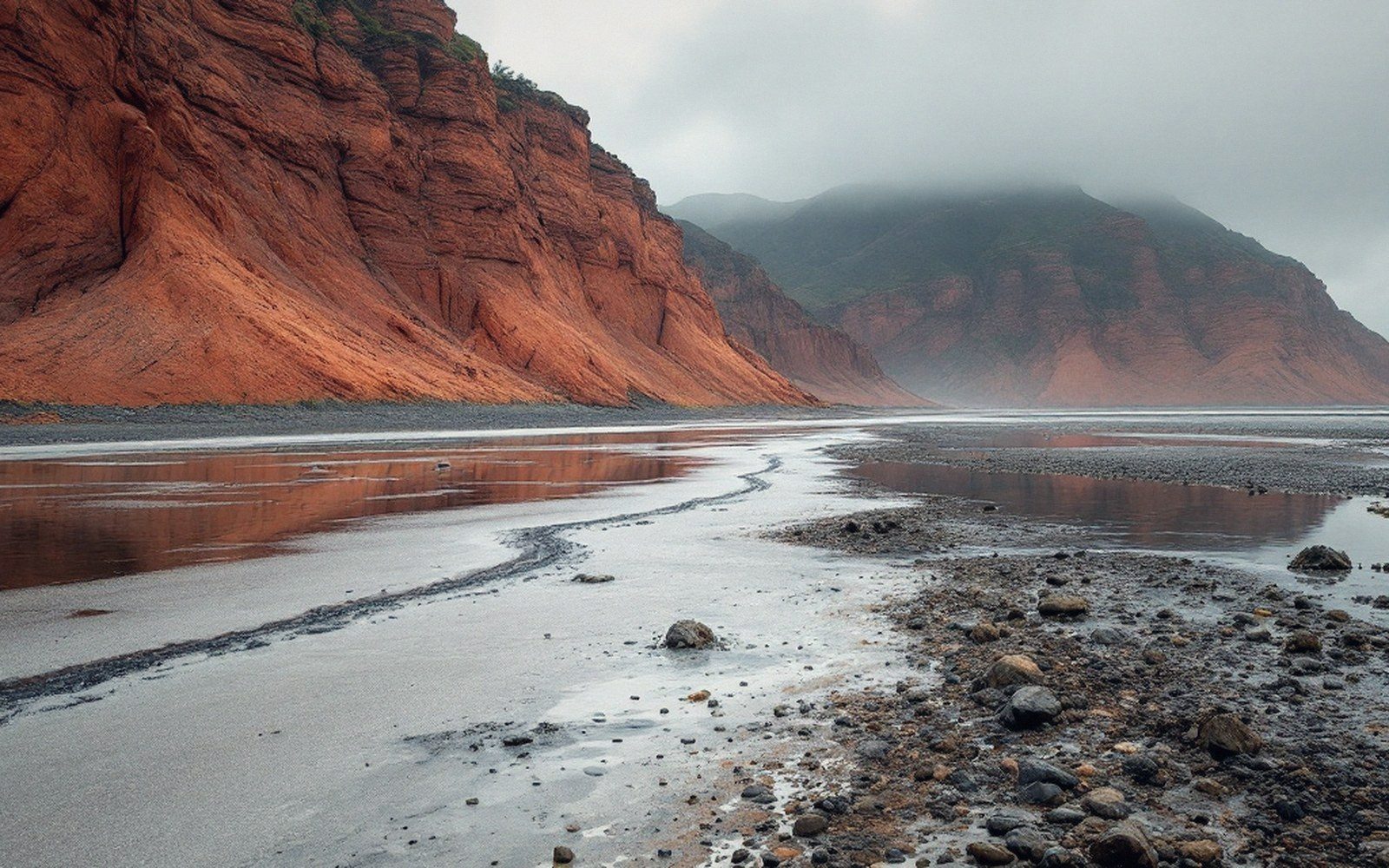
Stand on the mudflats outside Parrsboro, Nova Scotia (45.40°N, 64.33°W), at low tide and you are looking at a seafloor that will be under fifteen metres of water within six hours. The rate of rise is not constant — it accelerates through the middle of the flood and slows near the turn — but at peak flood the water in the upper Minas Basin can rise at well over a metre per hour depending on position. The bay empties and refills at a rate, by some estimates published by the Bedford Institute of Oceanography ↗, that exceeds the combined flow of all the world's freshwater rivers. That figure is intended to convey scale rather than precision, but it reflects the genuinely enormous volumes in play: each tidal cycle moves on the order of 100 billion tonnes of seawater.
That movement does work on the shoreline. The cliffs along the Minas Basin are Triassic and Jurassic basalt and red sandstone, and the twice-daily immersion and exposure — combined with wave action during the flood — erodes them steadily. Fossil-bearing strata around Joggins (45.69°N, 64.44°W), a UNESCO World Heritage Site since 2008, are exposed in cliff faces that recede measurably each decade, a process that simultaneously destroys and reveals the geological record. Tidal currents also suspend and transport enormous quantities of fine sediment, building the distinctive red-brown turbid water that characterises the upper bay.
Key dimensions
In the Shubenacadie and Petitcodiac rivers, the incoming flood overtakes the outflowing current and produces a tidal bore: a low breaking wave that moves upstream, visible and audible, sometimes a metre or more in height depending on the tidal range that day. The bore on the Shubenacadie (45.11°N, 63.53°W) has been studied since the nineteenth century and is among the more consistent examples in Canada.
What the Tide Does to the Seafloor — and the Record It Leaves
The intertidal zone in Fundy — the strip of ground alternately covered and exposed — can extend several kilometres across on flat mudflat terrain. That zone is neither ocean nor land in any stable ecological sense; it is a twice-daily transition, and the organisms that live there are adapted to conditions that would be lethal to strictly marine or strictly terrestrial life. Shorebirds using the Atlantic Flyway ↗ stop at Fundy specifically because the exposed mudflats are extraordinarily productive, loaded with small invertebrates concentrated in the sediment.
The bay's floor also carries the physical signature of the tidal current. Side-scan sonar surveys have mapped large subaqueous dunes — sand waves metres high, their asymmetry recording the dominant direction of flow — along with scoured bedrock pavements where the current is too strong to allow sediment accumulation. The Geological Survey of Canada has documented these features as part of ongoing seabed mapping; they are, in effect, the tidal record written in sand rather than in a tide gauge.
The bedrock beneath the bay is itself part of the story. Much of the region sits on Carboniferous and Triassic strata laid down when this part of North America was close to the equator and the Atlantic Ocean did not yet exist. The rifting that eventually opened the Atlantic also created the basin that became the Bay of Fundy, controlling the bay's elongated shape — and therefore, ultimately, its resonance period. Plate tectonics set the geometry; the geometry set the tide.
Fundy's tidal range will not stay at sixteen metres permanently. Isostatic rebound — the slow rise of crust still decompressing after the weight of the last ice sheet — is gradually altering the bay's depth profile. Sea level is also rising. Both processes change the resonance period incrementally, which means the degree of tuning between bay and ocean will shift across geological time. The present extraordinary range is a coincidence of the bay's current shape and the Atlantic's current tidal frequency — a coincidence that happens to be measurable today, at Burntcoat Head, in metres.
Why the bay amplifies
Drawn, not photographed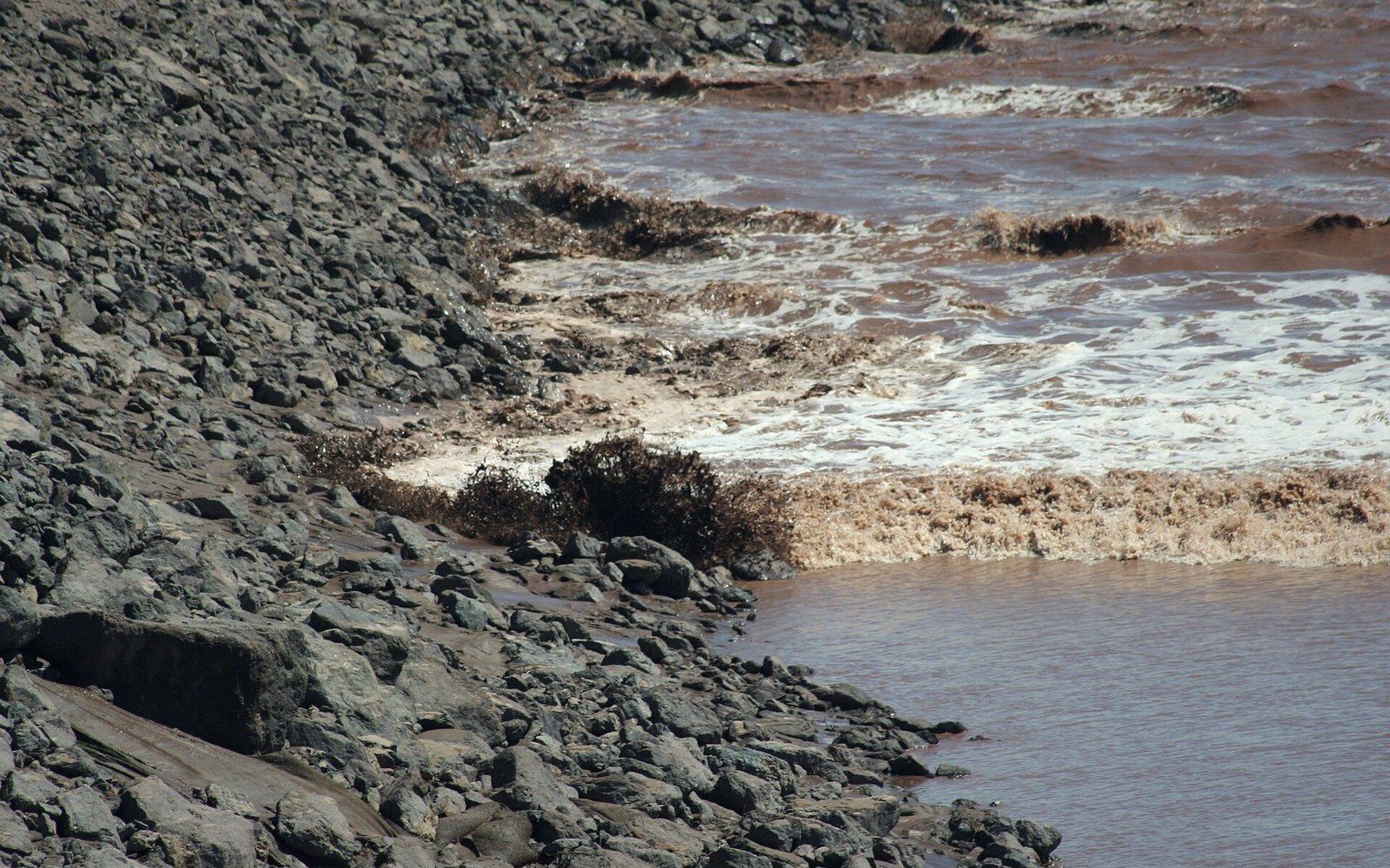
Coordinates for mapping
| Brier Island (bay mouth reference) | 44.28°N, 66.35°W |
| Burntcoat Head (maximum range) | 45.30°N, 63.78°W |
| Parrsboro, NS (mudflat/cliff reference) | 45.40°N, 64.33°W |
| Joggins fossil cliffs (UNESCO site) | 45.69°N, 64.44°W |
| Shubenacadie River tidal bore | 45.11°N, 63.53°W |