The chemistry of disappearing ground
Karst is what happens when the bedrock is soluble. Rainwater picks up carbon dioxide from the air and soil, becomes weakly acidic, and attacks calcium carbonate — the mineral that makes up limestone and dolomite. Given enough time, that chemical wear opens joints into passages, passages into caverns, and caverns into collapsed rooms whose roofs eventually fall in to form sinkholes. The surface above looks drained of its own drainage: streams vanish into the rock mid-valley, lakes lack obvious outlets, and the topography is pocked and hummocky rather than smoothly graded toward a river. Underground is where the water has gone.
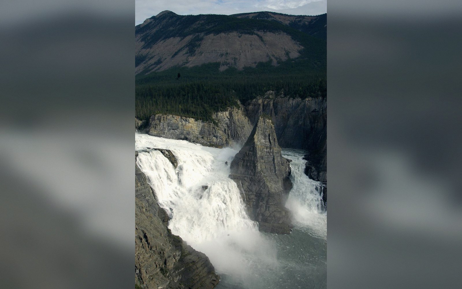
Canada has substantial karst terrain, most of it where Paleozoic sedimentary sequences survived the glacial stripping that left so much of the Shield's Precambrian rock naked. The Rocky Mountain foothills, Vancouver Island, the Nahanni region of the Northwest Territories, and parts of the Mackenzie Mountains all carry limestone that is actively dissolving. Nahanni National Park Reserve ↗ — Naha Dehé in the Dehcho Dene name — sits over some of the most dramatic example terrain on the continent. The Nahanni karst includes poljes (broad, flat-floored depressions) and tufa mounds built where calcium-saturated groundwater resurfaces and precipitates its mineral load back into solid form.
Ice complicated the picture. Glaciers scoured and crushed karst surfaces, filled cave entrances with till, and redirected underground drainage networks that had taken millions of years to develop. Since the ice retreated, isostatic rebound has been tilting drainage gradients, and new dissolution is reopening old pathways. The karst Canada has now is partly inherited from before the glaciations, partly reset by them, and still actively reorganizing — a system mid-sentence rather than concluded.
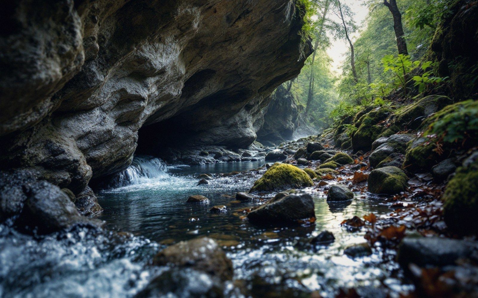
The diagnostic landforms are the sinkhole, where a cave roof collapses or sediment washes down into a void; the blind valley, where a surface stream runs into a cliff face and stops; and the resurgence, where that same water reappears kilometres away at a spring. Tracing the connection between sink and resurgence — by injecting dye into the swallow hole and watching for it downstream — is one of the fundamental methods of karst hydrology. The connections can be non-intuitive: water entering a sinkhole on one hillside may exit on the opposite side of a ridge, having found a hydraulic path through the rock that no surface map would predict.
Key landforms and terms
Terms- Sinkholesurface depression formed by roof collapse or sediment loss into a void below
- Blind valleya valley whose stream disappears into the rock face at its end
- Resurgencethe spring where underground karst water returns to the surface
- Poljea large, flat-floored karst depression, often with a seasonal lake
- Tufaporous calcium carbonate rock deposited where carbonate-rich groundwater emerges and degasses
- Swallow holethe point where a surface stream enters the rock
Because the drainage is hidden, karst aquifers are vulnerable in ways that surface watersheds are not. Contamination introduced at a sinkhole travels quickly and without filtration to resurgences that may serve as drinking-water sources — a hydrological fact with real consequences for land use above soluble rock.