How a Pothole Forms
When the Laurentide Ice Sheet retreated across the Interior Plains roughly ten thousand years ago, it did not melt cleanly. Chunks of ice broke off from the main body and became buried under outwash sediment — sand and gravel carried by meltwater streams. Insulated by that debris, the blocks persisted for decades, sometimes longer, while the landscape settled around them. When each block finally melted, the ground above collapsed into the void, leaving a rounded depression in the till. Geomorphologists call these features kettles; on the northern prairies, where they fill with water and support distinct wetland communities, they are almost universally called potholes.
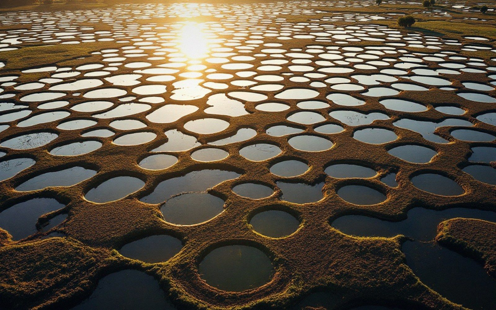
The result is the Prairie Pothole Region, a zone stretching from the Dakotas north through Manitoba, Saskatchewan, and Alberta. The Canadian portion alone contains several million individual basins, ranging from puddles a few metres across to ponds exceeding a hectare. Their density can be extraordinary — aerial photographs of the parkland belt show a landscape more dimple than flat, each depression holding its own small world of water.
What the Depressions Become
Potholes are closed basins with no surface outlet. Precipitation and snowmelt enter; water leaves only by evaporation or slow percolation. That hydrological isolation makes each pothole chemically distinct. Some remain fresh because they sit in sandy till and drain reasonably well. Others accumulate dissolved salts as water evaporates year after year, eventually becoming saline or even hypersaline — white-rimmed with sodium sulphate, unsuitable for most aquatic life but attractive to brine-tolerant invertebrates and the birds that eat them.
Water levels fluctuate with precipitation cycles over years and decades. During drought, potholes shrink or dry completely; in wet periods, neighbouring basins merge. This boom-and-bust hydrology, frustrating to map, is precisely what makes the system ecologically productive. The periodic drying concentrates nutrients and resets plant communities. When water returns, nutrient fluxes spike, invertebrate populations explode, and migratory waterfowl arrive in numbers that are difficult to overstate — the region produces the majority of North America's breeding ducks. Ducks Unlimited Canada ↗ and the North American Waterfowl Management Plan both treat the pothole region as a continental conservation priority for this reason.
Key numbers
Terms- Laurentide Ice Sheet retreatroughly ten thousand years ago
- Canadian Prairie Pothole Regionseveral million individual basins (Manitoba, Saskatchewan, Alberta)
- Individual basin sizefrom a few metres across to more than a hectare
- The region produces the majority of North America's breeding ducks (continental figure, widely cited in waterfowl management literature)
Agricultural drainage has eliminated a large proportion of the original potholes across the Canadian prairies, converting them to cropland. What remains is monitored by the Geological Survey of Canada and provincial agencies tracking both wetland extent and the ongoing adjustment of the land surface as isostatic rebound continues to reshape drainage patterns across the region.
Process in sequence
In order- Ice block breaks from Laurentide Ice Sheet and is buried under outwash sediment
- Block melts slowly while insulated; ground above collapses
- Closed basin (kettle) remains in glacial till
- Basin fills with precipitation and snowmelt; no surface outlet
- Chemistry diverges by till type and evaporation ratefresh to hypersaline
- Boom-and-bust hydrology follows multi-year precipitation cycles
- Waterfowl and invertebrate communities track water levels