Reading the Ice in Stone
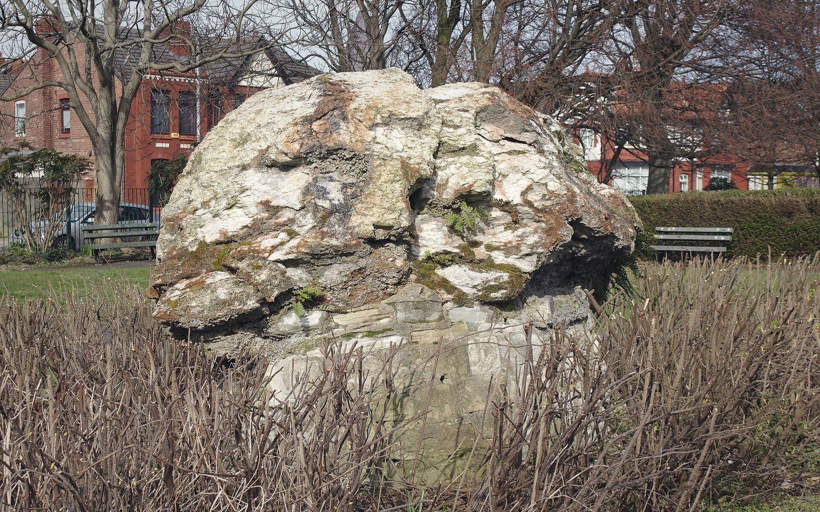
A boulder sitting in a field can be a geological non-sequitur. The rock beneath it is limestone; the boulder is granite. The limestone formed in a shallow tropical sea; the granite crystallised deep in a mountain root. Nothing local produced it, nothing local could have moved it — and yet there it sits, sometimes the size of a house, sometimes balanced on a plinth of the native bedrock as though placed deliberately. These are erratics: rocks displaced by glacial ice from their source outcrops and deposited when the ice that carried them finally melted.
The word comes from the Latin errare, to wander. Geologists formalised the term in the nineteenth century, once it became clear that the scattered boulders of Europe and North America were not biblical flood deposits but the litter of vanished ice sheets. Before that consensus formed, the boulders were a persistent embarrassment to any theory of Earth history that did not involve ice.
Canada has some of the most travelled erratics on the planet. The Canadian Shield supplied vast quantities of hard Precambrian rock — granite, gneiss, quartzite — to the Laurentide Ice Sheet, which at its greatest extent covered roughly ten million square kilometres. As ice accumulated over the Shield and flowed outward under its own weight, it plucked fragments from exposed outcrops, incorporated them into its base and carried them in whatever direction the ice was moving. Boulders from the Canadian Shield have been found deposited across the Interior Plains, in the Great Lakes basin, and in a broad scatter across the northeastern United States. The rock moved with the ice, and the ice is gone.
Identifying an erratic depends on a mismatch: the boulder's mineralogy, texture and age do not match the bedrock it rests on. Geologists trace erratics back to their source outcrops — a process called provenance analysis — by matching mineral composition, isotopic ratios and the structural fabric of the rock. Where the match is precise, you can draw a vector from source to deposit and read it as a record of ice-flow direction. In this way, erratics function as directional arrows left by a glacier that no longer exists.
Key measurements and distances
One of the most dramatic examples in western Canada is the Okotoks Erratic, south of Calgary, in the traditional territory of the Blackfoot Confederacy. It is a quartzite block — part of a long erratic train derived from Mount Edith Cavell in what is now Jasper National Park, roughly 500 kilometres to the northwest. The train, known as the Foothills Erratics Train, is one of the longest documented in the world, stretching from the Athabasca Valley in Alberta south into Montana. The blocks were transported not by the main Laurentide sheet but by a lobe of ice moving along the Rocky Mountain Trench and then fanning out onto the plains. The Okotoks block itself, at an estimated 16,500 tonnes, is among the largest known glacial erratics in North America.
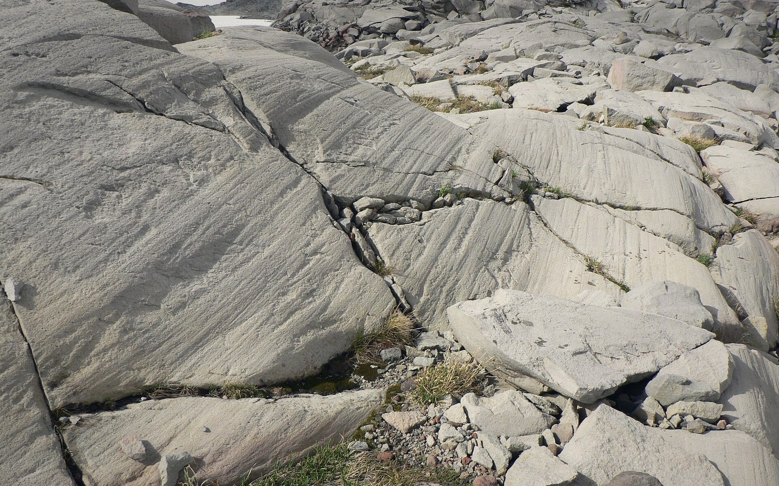
Size matters because it tells you something about the carrying capacity of the ice. A glacier does not roll boulders the way a river tumbles pebbles. Ice is rigid enough to hold a large block in place, frozen into its base or englacially entrained, and transport it without significant abrasion of the block's upper surface — which is why many erratics preserve sharp edges and original surface texture. The base, in contrast, may show striations: parallel scratches ground into the rock as it was dragged across the subglacial floor.
When the ice melted, the erratic was simply let down onto whatever surface lay beneath. The ice had no preference for where it dropped things. A boulder may end up on a ridge, in a valley, on exposed bedrock, or in a lake bed. Where the land has been rising through isostatic rebound since the ice left, erratics that were deposited near former shorelines now sit well above water level — a double record of two different post-glacial processes working simultaneously.
The erratic does not care about any of this. It sits where it was dropped, patient and legible, waiting for someone to read the rock.