The Shield holds water because ice left nowhere for it to go
Canada contains more lake surface area than any other country on Earth — estimates based on satellite mapping place the figure somewhere above nine percent of the country's land area. The explanation is not rainfall, not unusually flat terrain, and not recent volcanism damming valleys. It is older, simpler, and still unfinished: a continental ice sheet scraped a landscape of hard rock clean of its sediment, left millions of closed hollows behind, and then melted roughly ten thousand years ago. That is not long enough for lakes to fill in or drain away.
What the ice did to the rock
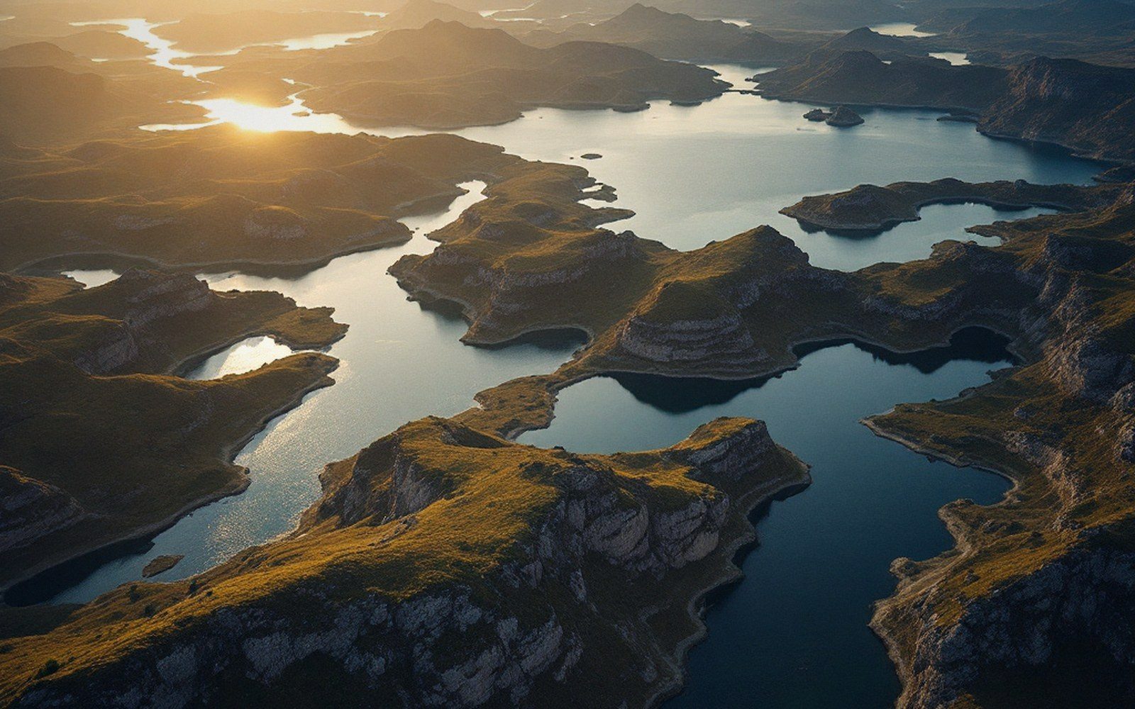
The Canadian Shield is the right kind of substrate for this. Precambrian crystalline rock — granite, gneiss, greenstone — is tough enough to resist weathering but not immune to abrasion under kilometres of moving ice. Glaciers armed with embedded rock fragments ground the surface into rounded knobs and scoured channels along pre-existing joints and weaknesses. The result is a terrain geologists call knock-and-lochan — a phrase borrowed from the Scottish Gaelic for hills and small lakes, because the same process shaped the Scottish Highlands under their own ice sheet. Resistant knobs (the knocks) alternate with elongated scour basins (the lochans), and water simply collects wherever the bedrock dips.
What is critical is that the Shield's drainage network was almost entirely destroyed. Before glaciation, rivers had carved shallow valleys across the old rock surface and moved water efficiently toward the sea. The ice sheet overrode all of that, planed down the interfluves, and deposited enough till in some valleys to block them while leaving others as open channels. When meltwater began pooling at deglaciation, it had no coherent system to flow through. Individual basins filled independently. Outlets, where they exist, are often just notches in bedrock that connect one lake to another at a slightly lower elevation — a chain rather than a network.
Why they persist
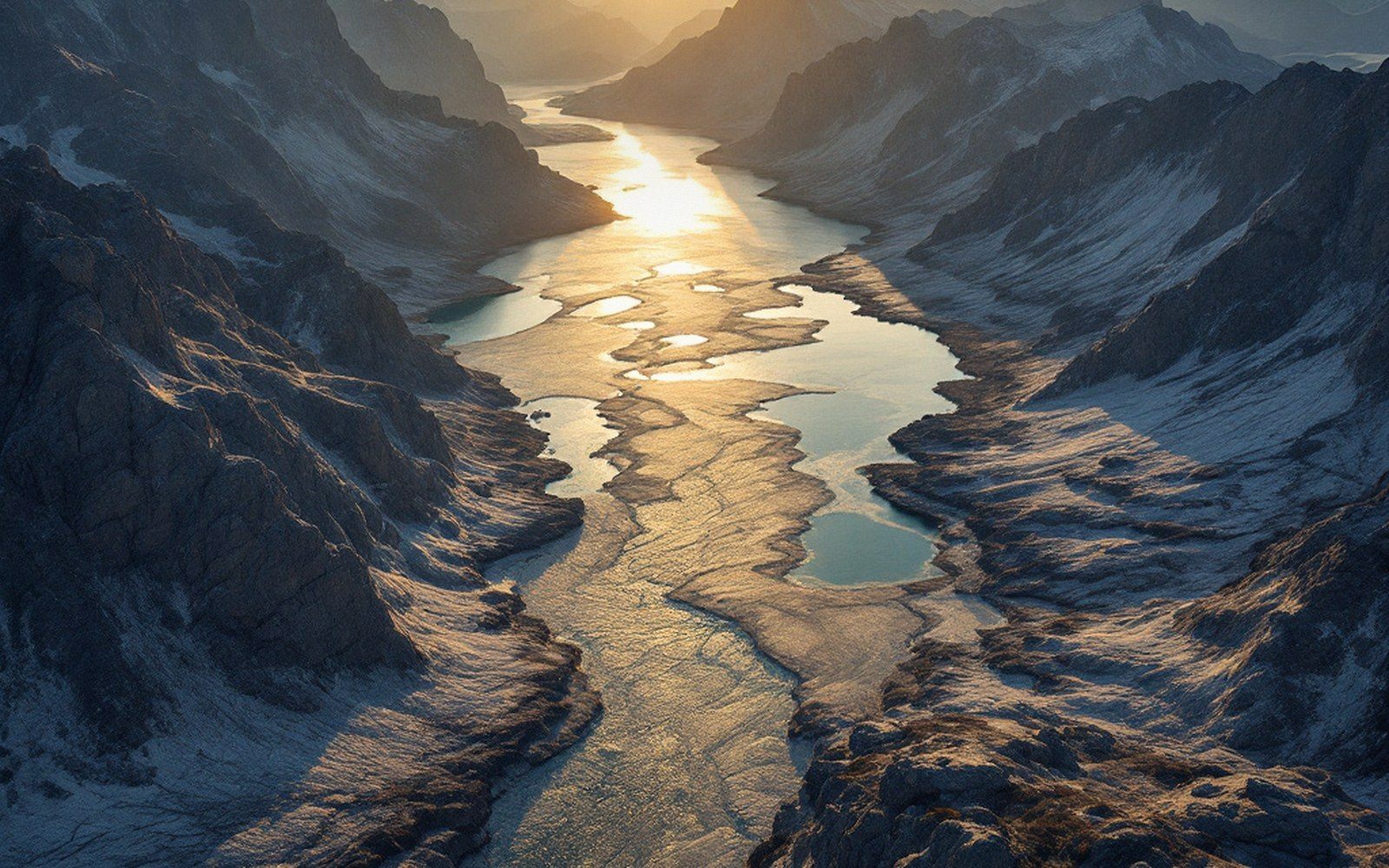
Filling a lake requires either sediment supply or drainage. The Shield provides neither in useful quantities. Hard crystalline rock weathers slowly; the rivers that feed Shield lakes carry very little suspended sediment compared with rivers draining softer sedimentary terrain. Without sediment input, the basins do not shoal. And because the bedrock is essentially impermeable, lakes cannot drain downward through the substrate — water leaves only by evaporation or surface outflow, both slow processes relative to the volume stored.
There is a further complication: isostatic rebound. The ice sheet pressed the crust down under its own mass, and the crust is still rising now that the load is gone — measurably, in some areas by several millimetres a year. As the land tilts differentially during rebound, watershed divides shift, and what was an outlet for one basin can become a sill trapping water in another. The drainage pattern is not static; it is being reorganised in slow motion by the ongoing recovery of the crust beneath it.
Key processes
Terms- Glacial scourice armed with rock fragments abrades bedrock into closed basins and rounded knobs
- Knock-and-lochan topographyalternating resistant knobs and scoured hollows; the drainage pattern of the modern Shield
- Isostatic reboundongoing crustal uplift is still reorganising watershed divides and trapping new basins
- Sediment starvationhard crystalline rock weathers slowly, so lakes receive too little sediment to fill on any human timescale
A landscape that is geologically very young
Ten thousand years is a long time in human terms and almost nothing in geological ones. The Shield's lakes are not ancient features — they are fresh wounds from the last glaciation, still bleeding water into an incomplete drainage system. The oldest lake sediments on the Shield date only to the immediate post-glacial period. In that sense, the landscape is unfinished: rivers are still finding their way, outlets are still being cut, sediment is still accumulating in quiet bays. Left to itself, the Shield would eventually integrate its drainage and lose most of its lakes to silting and river capture — but that process, measured in millions of years, has barely begun.
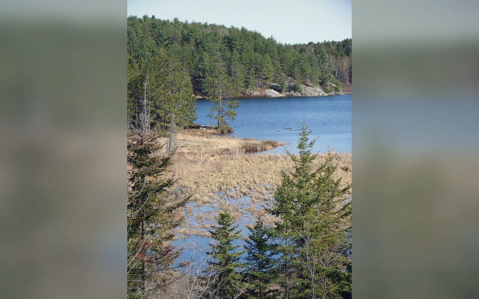
What you see when you fly over the boreal Shield — lake after lake glinting through spruce forest, each one separated from the next by a bare ridge of grey rock — is not a permanent feature of the continent. It is a snapshot of a landscape still adjusting to the removal of its ice.
Timescale
In order- ~10,000 years agodeglaciation begins; meltwater fills scoured basins
- Presentcrust still rising several millimetres per year in some areas; drainage reorganisation ongoing
- Millions of yearsestimated timescale for natural drainage integration and loss of most lakes